CORS Geodetic Network History
High-quality GNSS positions from continuously operating stations around the globe have roots in the Southern California geophysics and surveying communities.
In the mid-80s, campaign GPS experiments illustrated precision on par with VLBI and SAR that then led to proof of concept monumentation designs for a handful of continuously operating stations as part of the Permanent GPS Geodetic Array (PGGA).
By the mid-90s, the nascent PGGA network formed the backbone of the Southern California Integrated GPS Network (SCIGN) that expanded the network to >250 stations by 2002 and yielded the modern standards of the SCIGN radome, SCIGN mount, and Deep-Drilled Braced Monument. The success of SCIGN paved the way to the Plate Boundary Observatory (PBO) in the 2000s, expanding to include GNSS networks in Mexico, Central America, and the Caribbean to form the 1278-station Network of the Americas (NOTA). These networks and the massive amount of high-quality data result from generous funding by the NSF, NASA, Keck Foundation, USGS (plus others) and extraordinary team effort.
Founder, Christian Walls, has been involved in these networks since 1993, from collecting data, publishing results, conducting geologic assessments, constructing hundreds of stations, and managing operations for >500 sites in the Pacific Southwest and Mexico.
The following timeline and images highlight some of the processes, networks, improvements, and contributors that facilitated the high-quality GNSS data that we rely on today. (please email info@verquin.net for changes in attribution)
Permanent GPS Geodetic Array (PGGA)
1988: Work began on the first permanent GPS network in southern California. Until that time, there were only several isolated stations. Caltech, MIT, Scripps, UCLA, and JPL received funding for the first four stations that formed the Permanent GPS Geodetic Array (PGGA) (Bock et al., 1997). The first installation occurred in 1989 at Pinyon Flats. Seven stations were operating during the Landers M7.3 EQ in 1992, and, remarkably, the displacement field was used to accurately estimate the earthquake magnitude and depth of rupture and establish post-seismic decay (Bock et al., 1992, Blewitt et al., 1992). By 1993, 12 stations reached as far north as Parkfield, and operators also included the USGS. The M6.7 Northridge earthquake spawned the development of more stations, such that by 1997 the PGGA formed a ~50-station regional array that was to be the footprint for the SCIGN project.
1989: Duncan Agnew and Frank Wyatt pioneered stable, geodetic-grade monumentation at the geophysical observatory in Pinyon Flats, southern California. The PIN1 design originated from the foundation of the long-baseline laser strainmeter, where the concrete pad is anchored by 3 substructures, each with 3 legs extending 10 meters. The drilled holes and center of each pipe are filled with grout. The tripod that supports the antenna is then placed on the concrete pad for surveys.
The PIN2 style raises a portion of the substructure out of the ground by 2 meters and adds two legs. The 5 legs form a quincunx pattern where they intersect the ground surface. This was the prototype of the deep-drilled braced monument, a quincunx deep, that is now the gold standard for stability in CORS networks.
Jet Propulsion Laboratories – Bill Melbourne, John Scheid.
1992: Installation of the PIN1-style Vandenberg station was the culmination of efforts by researchers at SCRIPPS, MIT, and JPL. Station VNDP allowed for the continuation of an 8-year series of VLBI observations near the western edge of the Pacific-North America plate boundary. Like PIN1, VNDP has a removable tripod over the anchored base. This requires the use of a leveling plumb when an antenna is changed. Several stages of upgrades have occurred over the years and it is now operated by UNAVCO with Vandenberg Air Force Base as the helpful and accommodating host. VNDP is one of the longest operating CORS on the planet, spanning 3 decades.
Thank you, United States Air Force.
MIT – Bob King, Brad Hager
JPL – Steve Dinardo
1993: Inauguration of the PGGA site at the Lake Mathews reservoir operated by Metropolitan Water District. This construction was the first joint effort on a continuous GPS site by the scientific community and southern California surveying groups, a collaboration that continues today between members of California Spatial Reference Center and geoscience groups.
1995: The 1994 M6.7 Northridge earthquake was a turning point for tectonic geodesy as it spurred momentum for broader use of high stability monument designs for continuously operating GPS stations. CSUN at California State University Northridge was installed in 1995.
Scripps – Frank Wyatt, Steven Docktor, Jeff Behr
Collective PGGA contributing institutions and people of note
UCSD/Scripps: Yehuda Bock, Duncan Agnew, Frank Wyatt, Jeff Behr, Steven Docktor, Keith Stark, Shimon Wdowinski
MIT: Bob King, Brad Hager
USGS: Ken Hudnut, Will Prescott, Nancy King, John Langbein
USC/SCEC: John McRaney, David Jackson
NASA: John Labrecque
Riverside County Flood Control: Bill Young
Los Angeles County Surveys: Bob Packard
Southern California Integrated Geodetic Network (SCIGN)
1998-2002:
The $17M Southern California Integrated Geodetic Network (SCIGN) was funded by the Keck Foundation ($5.9M), NASA ($5.8M), USGS ($2M), NSF ($2M), and The Southern California Earthquake Center (SCEC $0.8M).
The purpose of the network was threefold:
- Provide regional coverage for improving estimates of earthquake hazard in Los Angeles.
- Identify active blind thrust faults.
- Measure variations of strain and response of faults to regional strain changes on the millimeter scale.
The project added 200 GPS stations to the pre-existing 50 stations of the PGGA. Most new stations were deep-drilled braced monuments with an average all-in per station cost of $85k in year 2000 dollars. The geodetic network configuration was designed by the earthquake science community during “Dots” committee sessions organized by the Southern California Earthquake Center (SCEC). NASA’s Jet Propulsion Laboratories managed the project in close coordination with the USGS that focused on site selection. Geologic evaluations and construction management were handled by Earth Consultants International and stations were installed by Gradient Engineers.
This project was the first to deploy standardized deep-drilled braced monuments on a large scale. Furthermore, the 1999 M7.1 Hector Mine earthquake spawned innovations in tooling, designs, and materials to facilitate cGPS installations using helicopters (Hudnut et al., 2002). The short-drilled braced monument installation technique got its start during the Hector Mine earthquake response and was then applied to other hard-to-reach places such as the Channel Islands off the coast of California. This SCEC newsletter provides an excellent review of the SCIGN project.
Collective SCIGN contributing institutions and people of note
UCSD/Scripps: Yehuda Bock, Duncan Agnew, Frank Wyatt, Jeff Behr, Steven Docktor, Bernard Minster, Charles Kennel, John Orcutt, Paul Jamason
MIT: Bob King, Brad Hager
USGS: Ken Hudnut, John Galetzka, Will Prescott, Nancy King, John Langbein, Keith Stark, Jim Savage, John Filson, John Unger, Aris Aspiotes, Karl Gross, Minoo Dastoor, Michael Scharber, Matt van Domsalaar, Shannon van Wyk
CICESE: Javier Gonzalez
UNAVCO: Mike Jackson, Spencer Reader, Warren Gallaher, Oivind Ruud
Caltech: Egil Hauksson
Stanford: Paul Segal
USC/SCEC: John McRaney, David Jackson, Tom Henyey
U of Tokyo: Teruhyuki Kato
NASA: John Labrecque, Earnie Paylor
UNR: Steve Wesnousky
U of Alaska: Jeffrey Freymueller
U of Hawaii: Michael Bevis
UC Berkeley: Roland Burgmann
Pacific Geoscience Center: Herb Draggert
Caltrans: Dick Davis, Ralph Ricketson
Metropolitan Water District: Mike Duffy, Cecelia Whitaker
National Geodetic Survey: Marti Ikehara
National Science Foundation: Robin Reichlin, Dan Weil, Herman Zimmerman
League of California Surveyors: Bill Young
Los Angeles County Survey: Bob Packard
Gradient Engineers: Ed Arnitz, Chris Mora, John Taylor, Dave Arrone, Mike Capriano
Earth Consultants International: Eldon Gath, Tania Gonzalez, Kerry Cato, Mitch Bornyasz, Christian Walls
The United States Marine Corps: Lieutenant Colonel Tabak
Plate Boundary Observatory (PBO)
2003-2018:
Funded by the National Science Foundation as an MREFC project and constructed by UNAVCO, the Plate Boundary Observatory was a $100M geodetic component of the EarthScope project. From 2003-2008, 875 continuously operating GPS stations, 70 borehole strainmeters, and 5 long baseline strainmeters were installed in the lower 48 states and Alaska. Approximately half of the GPS stations were deep-drilled braced monuments (Wyatt-Agnew-style) and the other half, short drilled braced monuments (Galetzka-Hudnut-Wyatt-style). The average all-in cost per GPS station was $76.5k in 2006 dollars (siting, reconnaissance, permitting, procurement, materials, electronics, preparation, travel, labor, telemetry, data flow, processing, archiving, documentation, management, facilities). The project also incorporated 225 existing network stations (called Nucleus Upgrades) that were modernized with state-of-the-art receivers, telemetry, and power systems for a collective network station count of 1100 GPS sites.
The purpose of the network was to measure contemporary strain fields in North America and contribute to the understanding of the tectonic and volcanic evolution of the continent. You can view some of the discoveries of the network here. It is difficult to capture in words the rigor of constructing the Plate Boundary Observatory. The scientific objectives spanned most tectonic regimes and many volcanic settings, which in turn led to remote targets requiring a variety of modes of access. Transportation of field crews, materials, and equipment included: semi tractor-trailer, 4×4 truck, ATV, helicopter, fixed-wing aircraft, 100’+ vessel, barge, houseboat, skiff, horse, llama, hiking, bouldering, and sometimes a combination of these. The sense of purpose and teamwork drove the dedicated engineers and participants to successfully complete the PBO.
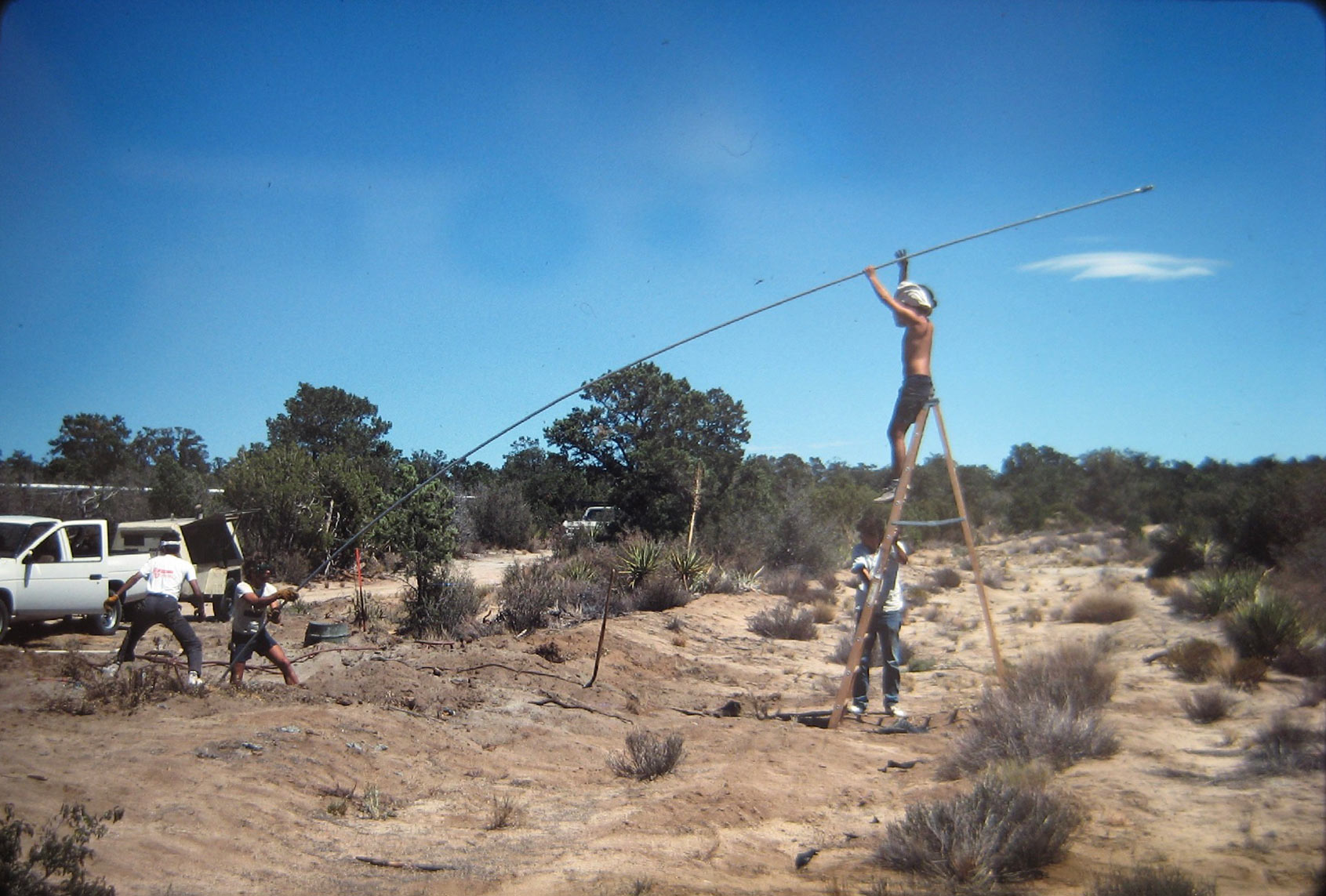
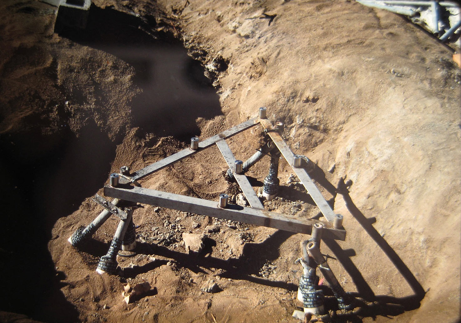
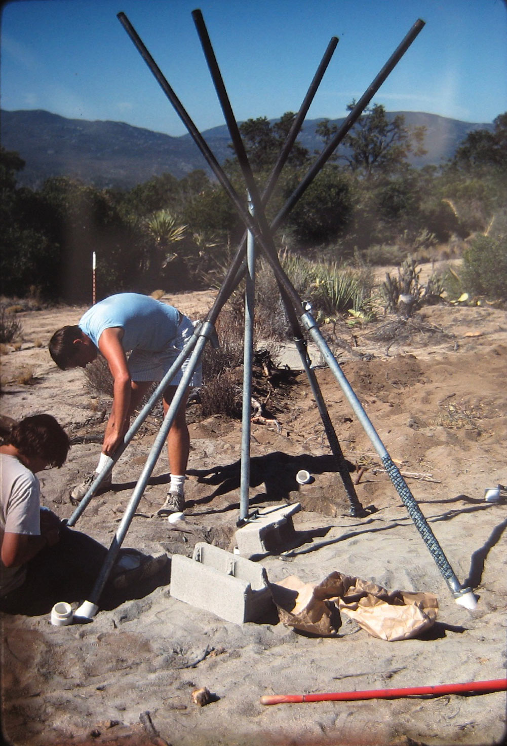
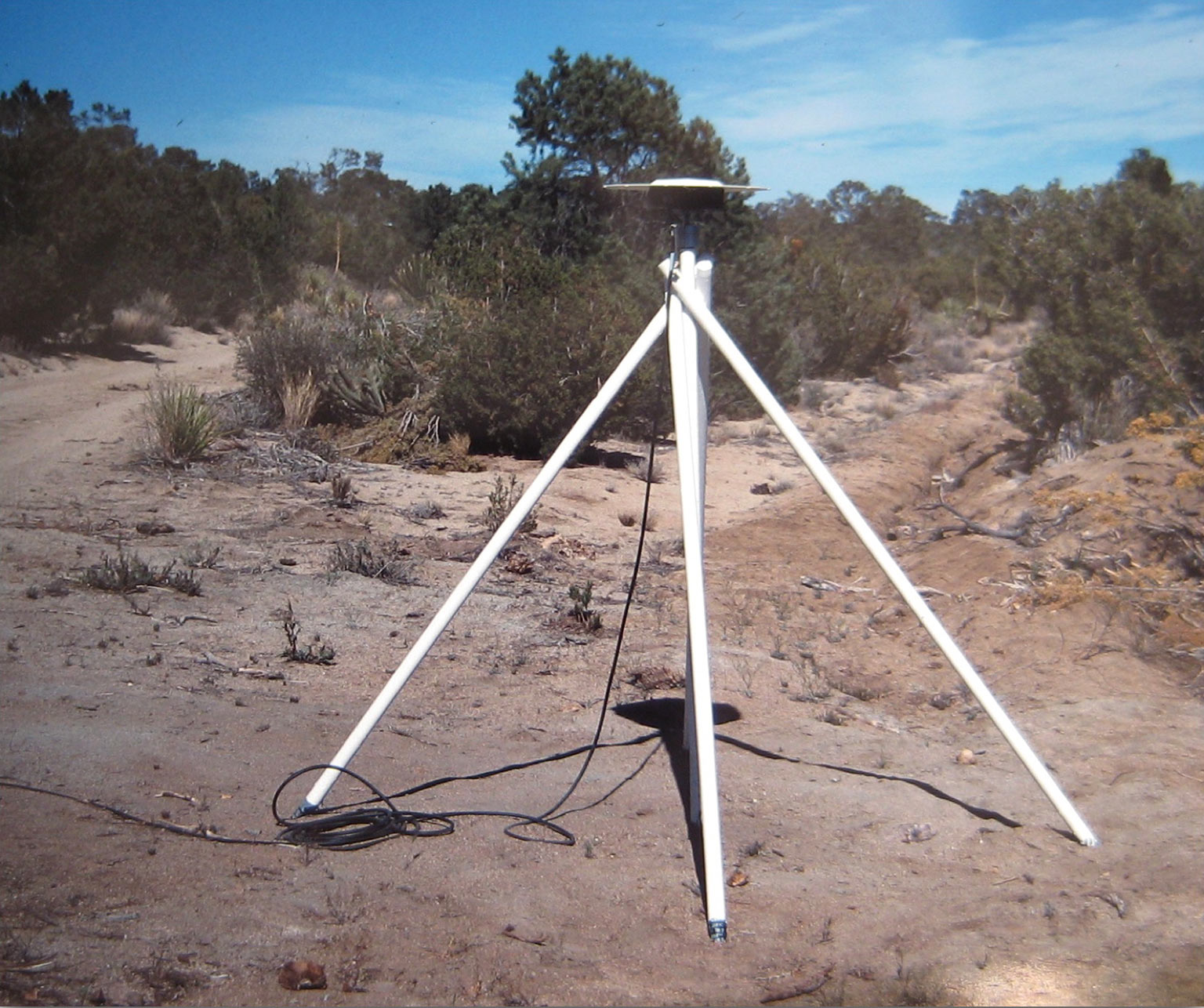
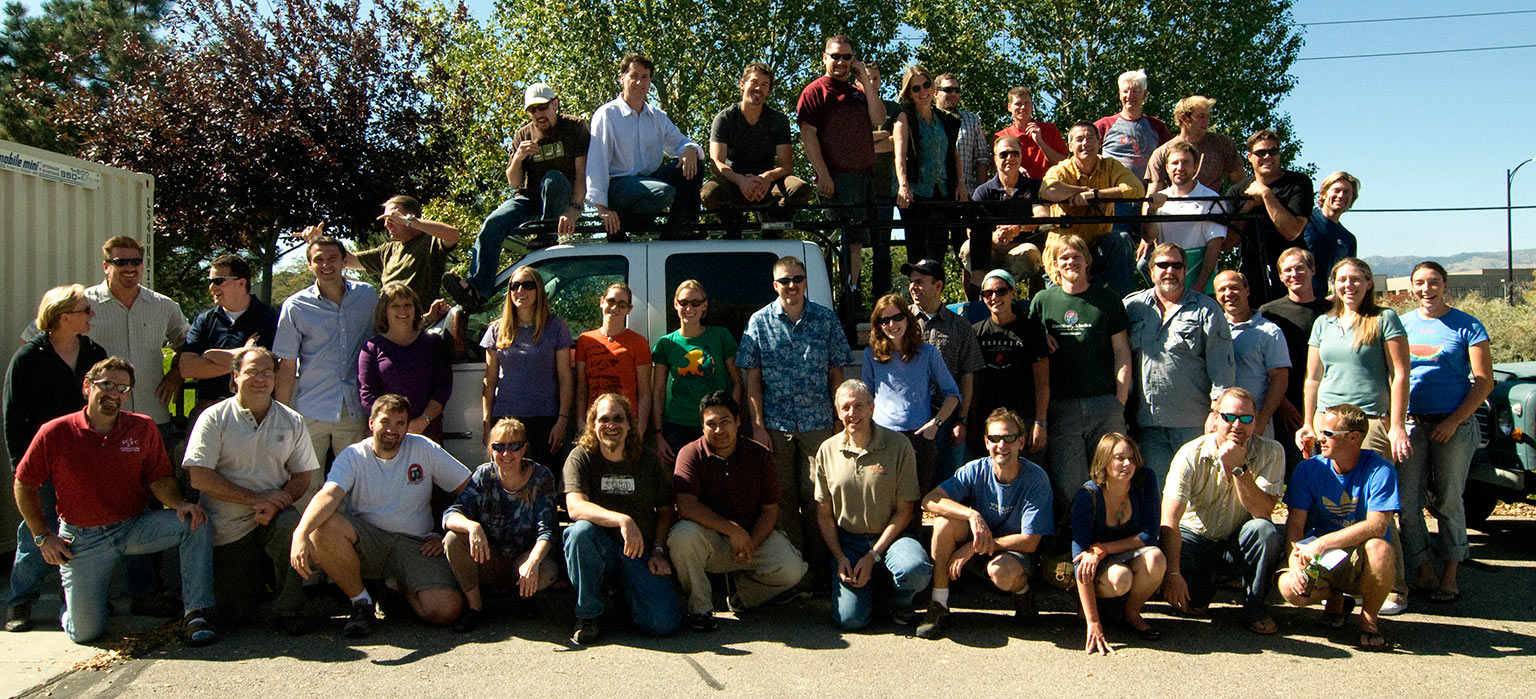
Institutions and people of note during construction from 2003-2008
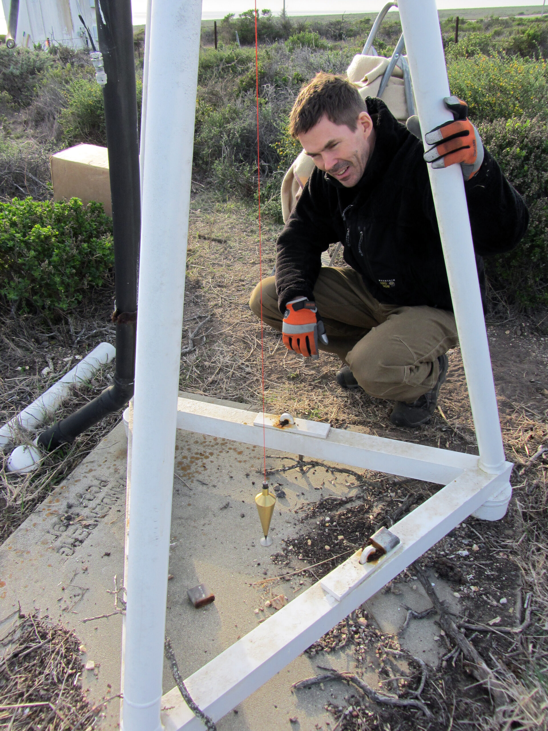
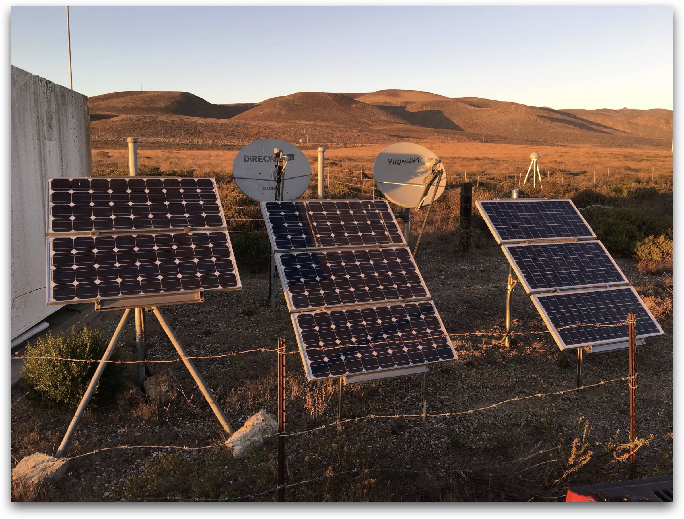
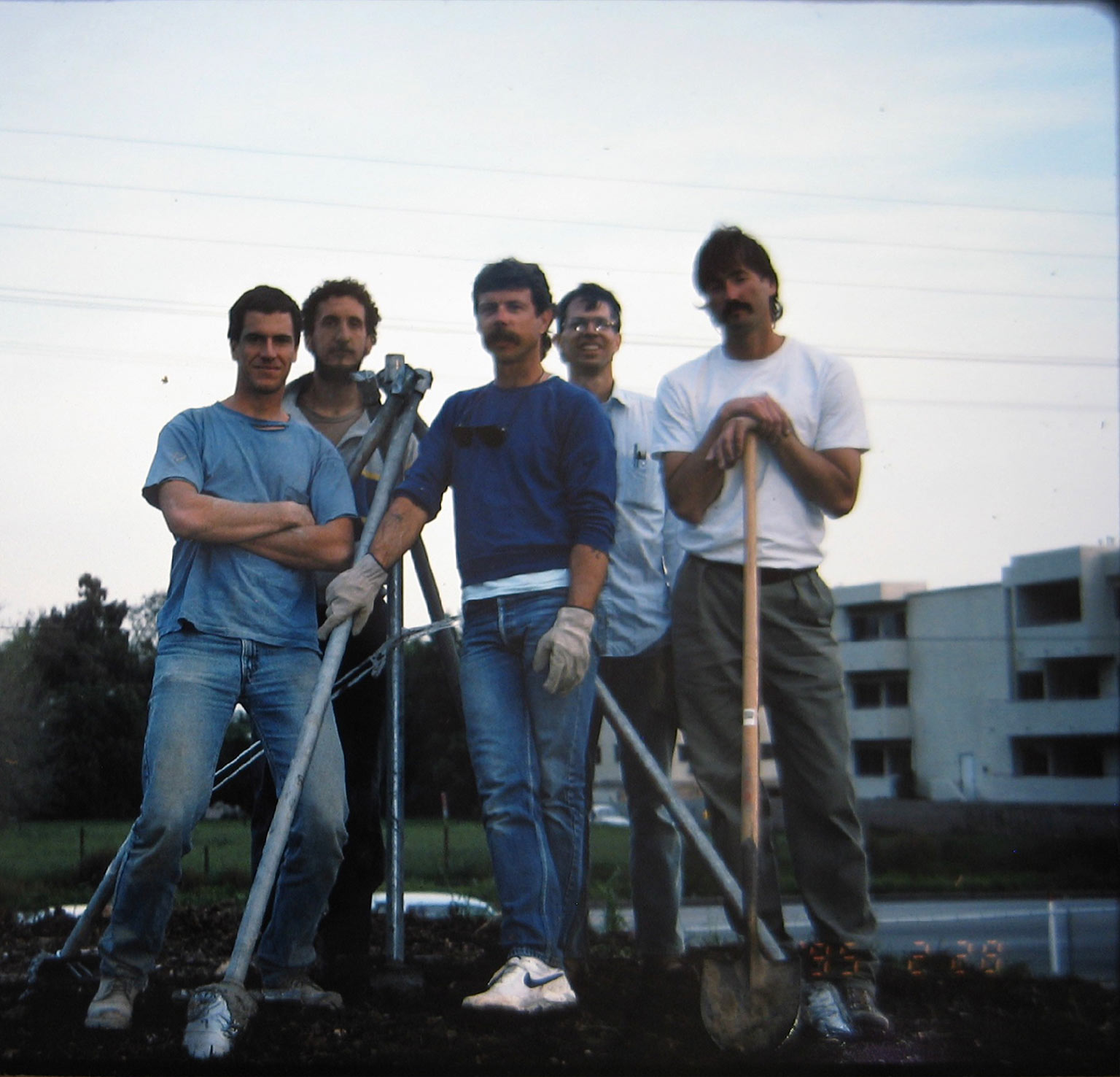
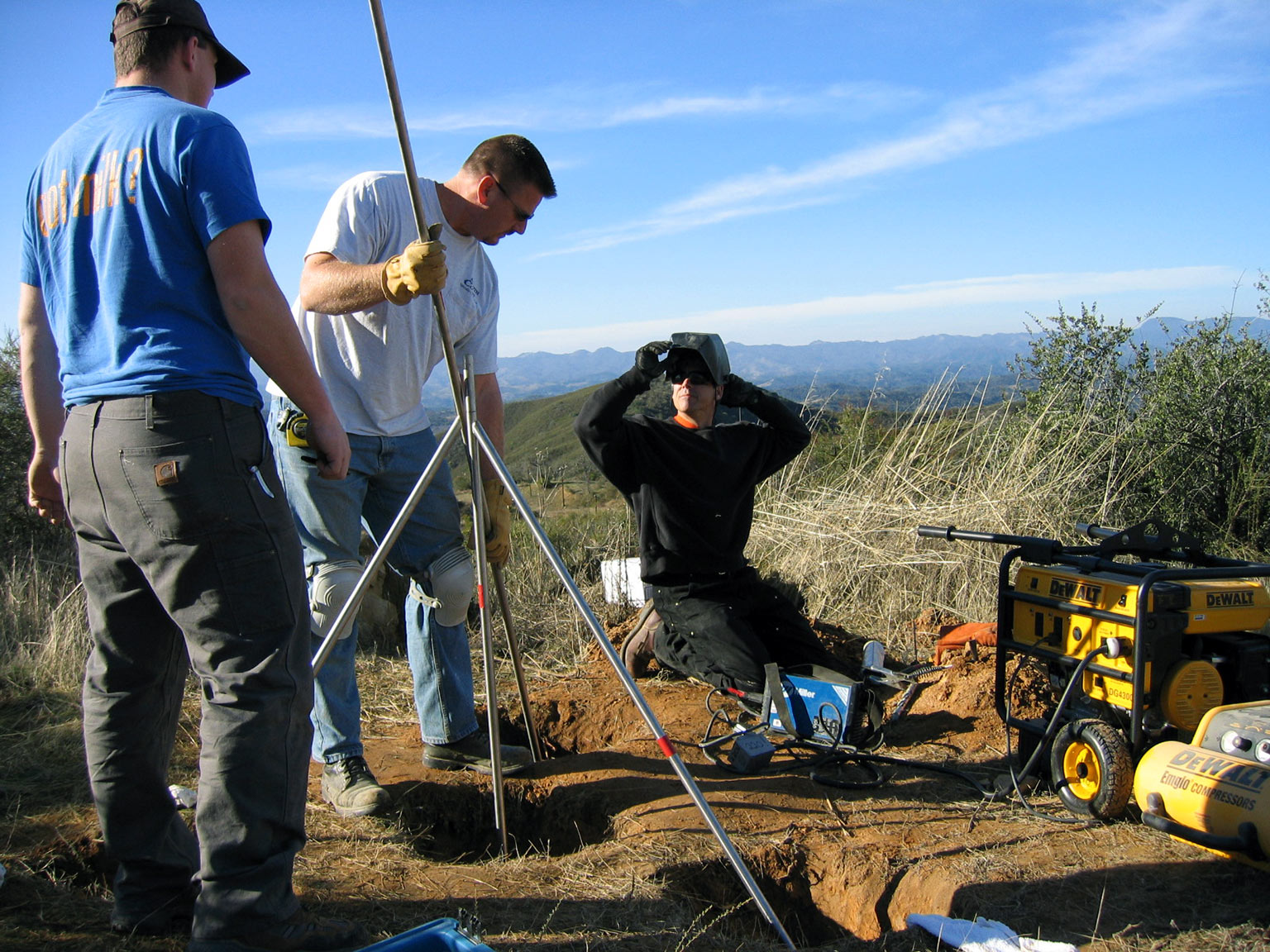
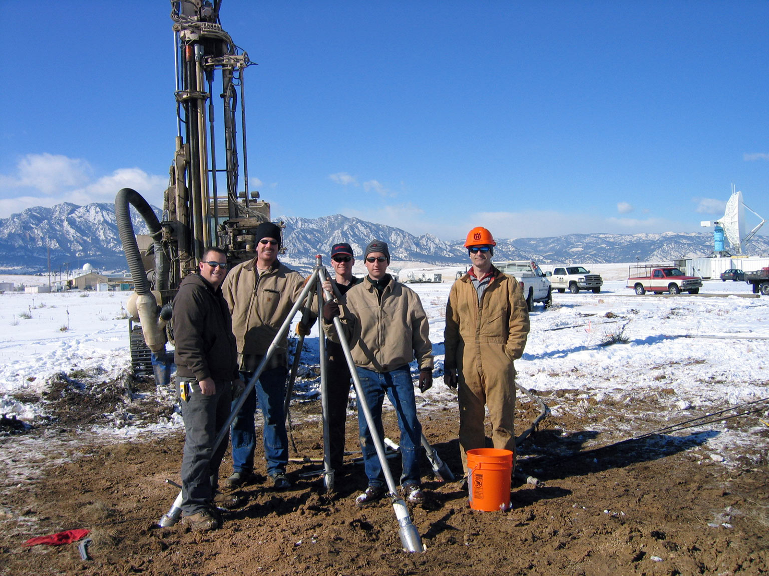
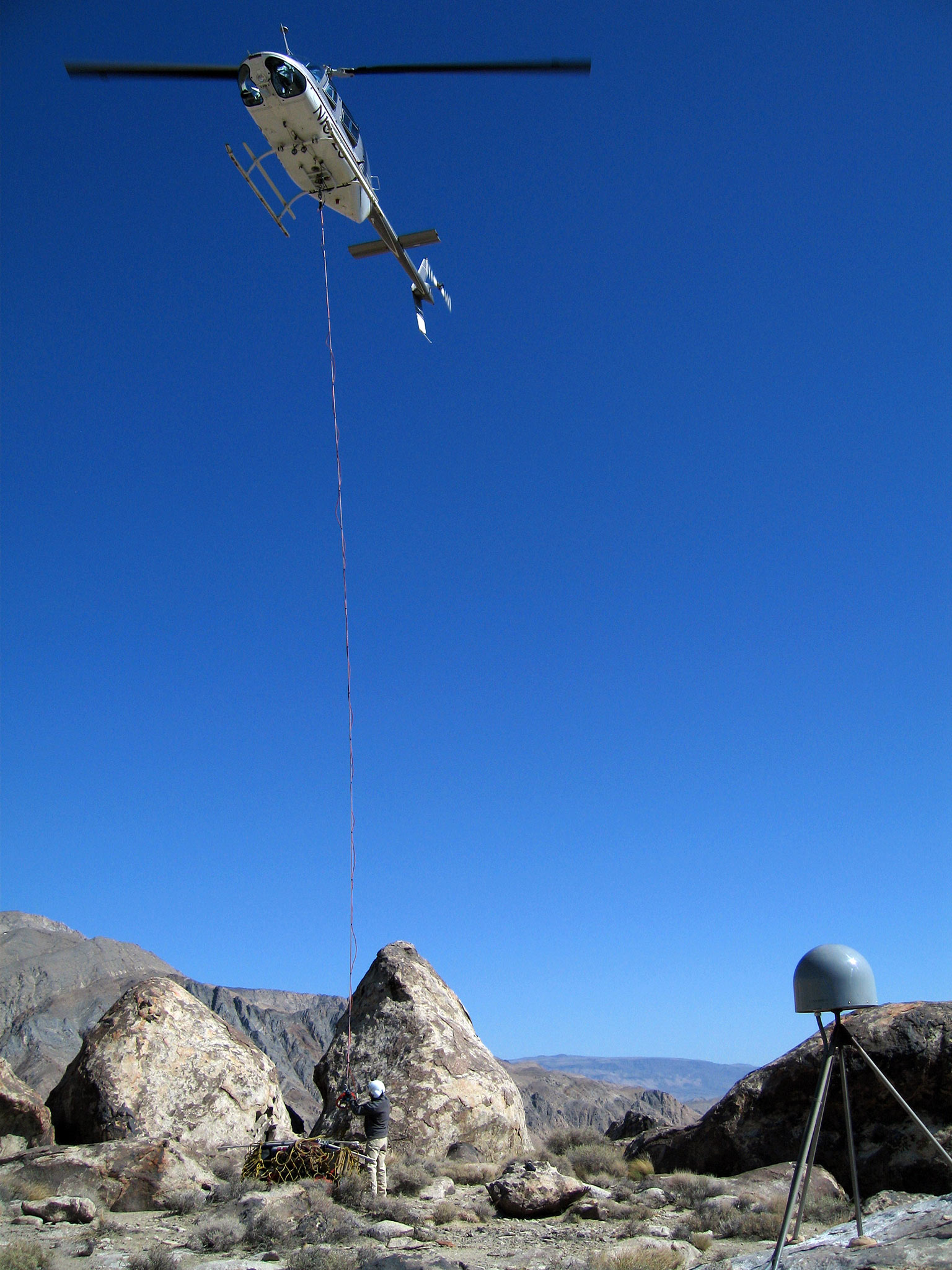
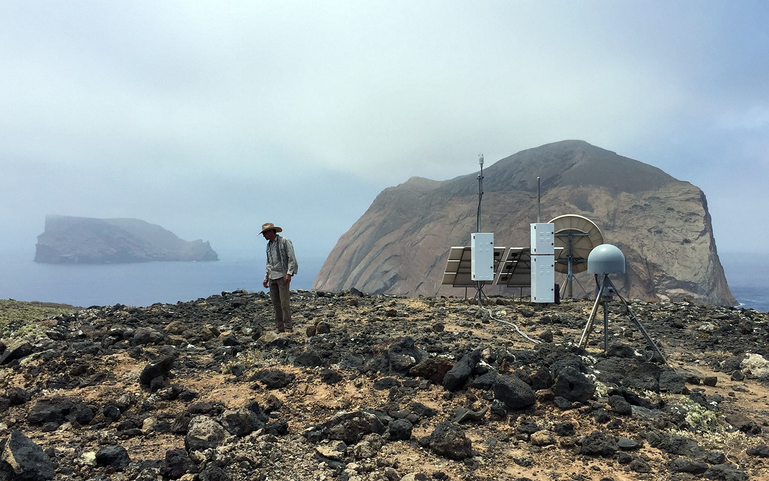
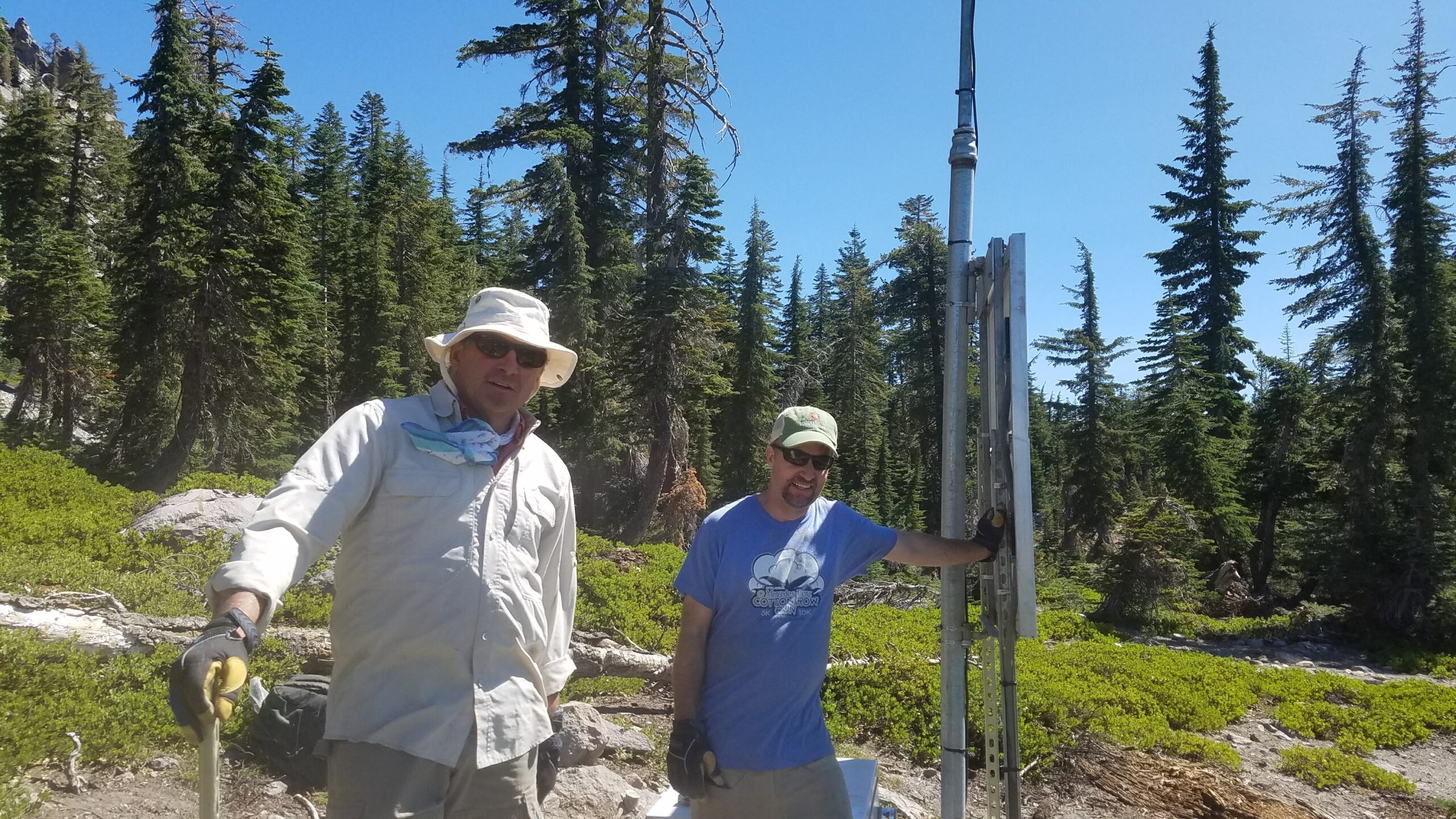
UNAVCO: Mike Jackson, Karl Feaux, Ed Arnitz, David Mencin, Warren Gallaher, Shawn Lawrence, Andre Basset, Doerte Mann, Christian Walls, Kathleen Hodgkinson, Freddy Blume, Steve Smith, Lee Snett, Chuck Kurnick, Elizabeth Van Boskirk, Allen, Chelsea Jarvis, Will Prescott, Michael Hasting, Scott Bick, Tim Dittman, Summer Miller, Kyle Bohnenstiehl, Brian Coyle, Ryan Bierma, Ellie Boyce, Max Enders, Greg Anderson, Heidi Willoughby, Adam Woolace, Keegan Fengler, David Kasmer, Sarah Venator, Peter Gray, Adrian Borsa, Katrin Hafner, Sarah Doelger, Eric Schaub, Steve Bornstein, Ken Austin, Jacob Sklar, Beth Bartel, Korey Dausz, Dain Delismunovich, Wade Johnson, Meghan Miller, Barret Friesen, Blaise Stephanus, Mike Gottlieb, Ben Pauk, Emily Seider, Sara Looney, Tom Lyman, Zack Hargraves
National Science Foundation: Russ Kelz, Kay Shedlock, Jim Whitcomb
EarthScope: Greg VanderVink, Charna Meth
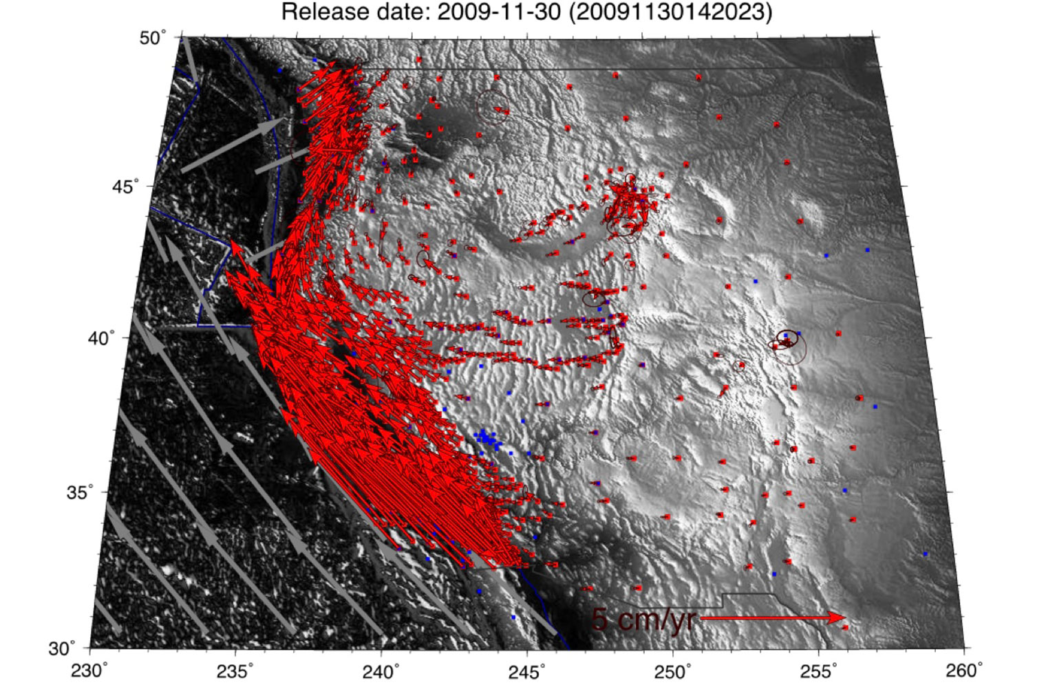
USGS: Gerald Bawden, Jessica Murray, John Langbein
MIT: Tom Herring, Mike Floyd
JLA Aviation: Jeff Linscott, Peter Emerson, Anthonie Brucie
Lundgren Drilling: Mike Lundgren
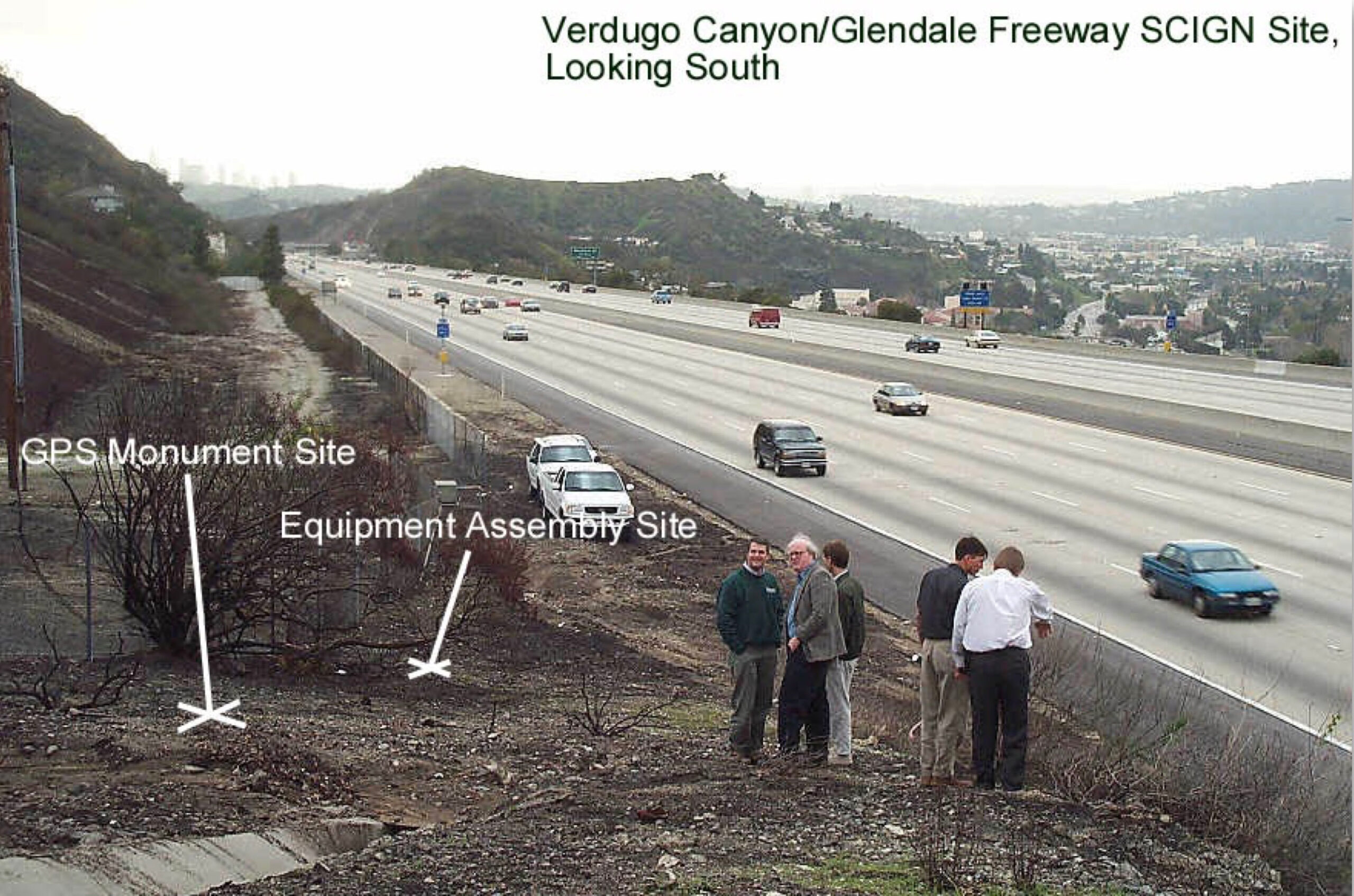
Caltrans: Dick Davis, Darrel Bane, Gigi Cardoza
Metropolitan Water District: Cecelia Whitaker, Brian Wiseman
San Diego County: Ross Carlson, Norm Peet, Steven Martin
SCEC: John McRaney
Network of the Americas (NOTA)
2018-Present:
The Network of the Americas federates the NSF-funded PBO, COCONet (Caribbean), TLALOCNet (Mexico) networks, and smaller networks of mixed funding into one network of 1278 stations. GPS/GNSS receivers and telemetry span various options, but the monumentation and power systems are generally standardized to the SCIGN/PBO-spec DDBM/SDBM monuments and PBO-spec power systems. The network has captured numerous earthquakes and geophysical events, the results of which can be viewed on this highlight page.
Institutions and people of note during network expansion and upgrades
UNAVCO: Karl Feaux, Glen Mattioli, Meghan Miller, Rebecca Bendick, David Mencin, Kathleen Hodgkinson, Charles Merteens, Charlie Seivers, John Galetzka, Ken Austin, Tim Dittmann, Doerte Mann, Andre Basset, Shawn Lawrence, Ryan Turner, Adam Woolace, Ellie Boyce, Chad Pyatt, Elizabeth Van Boskirk, Annie Zaino, Sean Malloy, Christian Walls, James Downing, Chelsea Jarvis, Warren Gallaher, Barret Friesen, Eric Schaub, Jim Normandeau, Freddy Blume, Jacob Sklar, Sarah Doelger, Korey Dausz, Emily Seider,
NSF: Maggie Benoit, Russ Kelz,
UNAM: Enrique Cabral, Luis Salazaar
CICESE: Alejandro Ortega González, Javier González
Caltrans: Scott Martin, Bryan Banister, Eric Adney, Bud Klassen
Edison: George Murray