Stability
The deep-drilled braced monument wins.
Numerous comparative, peer reviewed studies of geodetic monumentation span two to two thousand installations, anchored in sediment to bedrock, post-processed to real-time data. The evaluations of the largest datasets compare well over $200M in geodetic infrastructure, with distinct results.
For further reading, see the references at the bottom of the page. The results from these publications are these:
- In sediment, the deep-drilled braced monument (DDBM) is clearly the most stable.
- In competent, unfractured bedrock, a DDBM and short-drilled braced monument (SDBM) yield similar results.
- Pillar monuments are less stable than short-driven braced monuments (SVBM) in sedimentary strata. It would make sense that 4 or 5 axes of stability are better than 1 axis.
- If you don’t have bedrock, install a DDBM or SVBM and drill/drive as deep as you can afford.
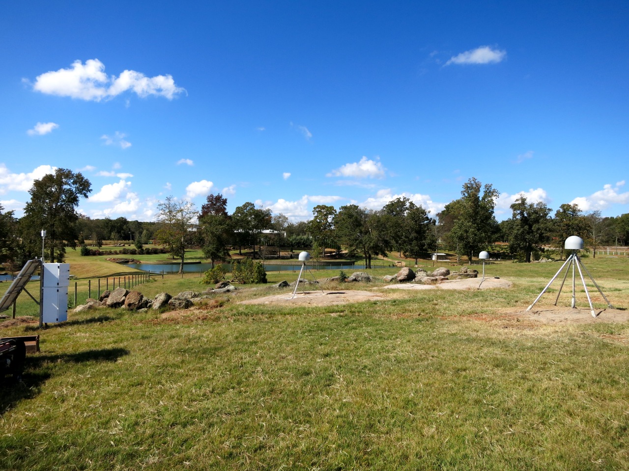
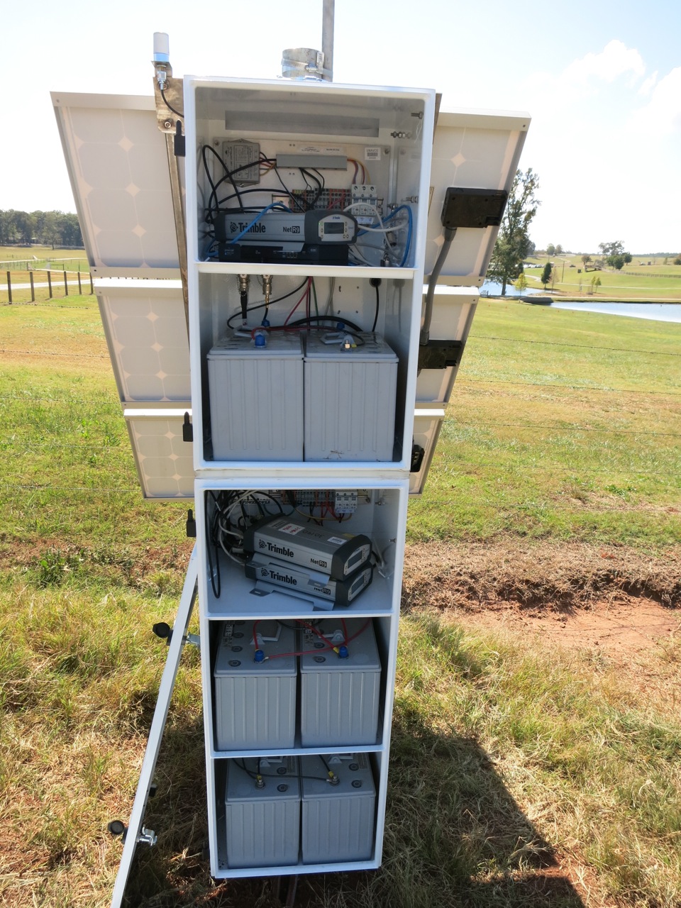
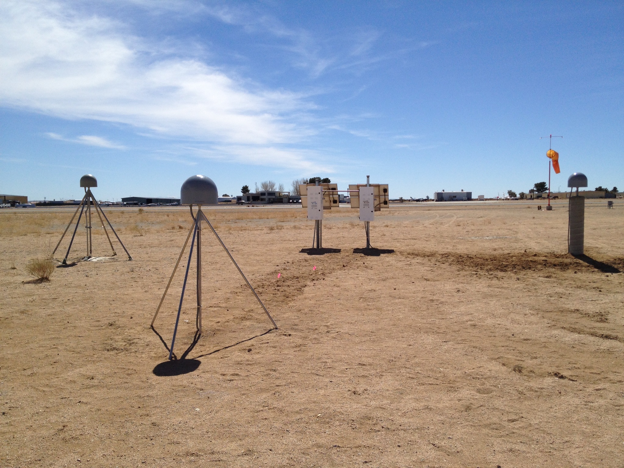
Blume et al. (2015) built five sites with 3 different monuments each that were compared using the Trimble NetR9 receiver and TRM59800.00 or TRM29659.00 chokering antenna. The site locations ranged from Georgia, Washington State to southern California, and the geology ranged from unconsolidated sand and silt to basaltic and granitic bedrock. The monuments were arranged in a triangle with 10m spacing and all were in low multi-path environments with clear sky view. Combined data was processed using GAMIT + GIPSY. Conclusions: GNSS monuments are as stable as the ground they are installed in. Pillars do not perform well in unconsolidated sediments. SVBM are better than pillars but not as good as DDBM.
Herring et al. (2016) looked at position time series for about 2000 stations from networks including NOTA, SCIGN (see History), PANGA, NASA GGN, GNet, NGS CORS, and other stations in North America. Monuments ranged from DDBM, SDBM, SVBM, pillar, mast, roof mount, well casing, hybrids, and others. The analysis shows the deep-drilled braced monuments have the smallest weighted root-mean-square (WRMS) scatter and horizontal random walk (HRW) values, followed by short-drilled braced monuments.

The following figure caption is from Herring et al., 2016 and used with permission by Herring, 2021 (Note that Mike Floyd (MIT), a co-author, led the analysis for the plot above): “Box-and-whisker plots showing the distribution of weighted root-mean-square (WRMS) values estimated from the scatter of station time series residuals in the (a) north, (b) east and (c) up components, and (d) equivalent horizontal random walk (HRW), representing the time correlated noise. The WRMS scatter values are computed from the position residuals after removing a linear trend, discontinuities, annual signals, and for some stations, postseismic logarithmic functions. The HRW values are estimates of the random walk process noise value in the horizontal position estimates. The “Miscellaneous” category includes various types of other monuments including stations where the monument type is unknown. The line in the center of the box is the median value, the boxes encompass 50% of stations (25th to 75th percentiles), the whiskers encompass 90% of stations (5th to 95th percentiles), and the short horizontal line represents the minimum. Numbers in gray next to and above the box-and-whisker in each figure show the values below which are 50% and 95% of stations, respectively. Numbers in parentheses following the monument types are the total stations in that category.”
References
Agnew, D., Bock, Y., Wyatt,F., (2002), Comments on NGS proposed CORS monumentation, Open Letter. https://pfostrain.ucsd.edu/gpsmon/monument_design/ngscomments.pdf
Beavan, J. (2005), Noise properties of continuous GPS data from concrete pillar geodetic monuments in New Zealand and comparison with data from U.S. deep-drilled braced monuments, J. Geophys. Res., 110, B08410, doi:10.1029/2005JB003642
Blume, F., Berglund, H., Feaux, K., Austin, K., Dittmann, T., Mann, D., Walls, C., Mattioli, G., Herring, T., (2013). Stability of GNSS Monumentation: Analysis of co-located monuments in the Plate Boundary Observatory. American Geophysical Union Fall Meeting, G51B-04
Blume, F., T. Herring, G. S. Mattioli, K. Feaux, C. Walls, K. E. Austin, and S. T. Dittmann (2017). G14A-02 Stability of GNSS monumentation: Analysis of co-located monuments in the UNAVCO plate boundary observatory, AGU Fall Meeting, New Orleans, Louisiana, 11 December 2017
Herring, T. A., T. I. Melbourne, M. H. Murray, M. A. Floyd, W. M. Szeliga, R. W. King, D. A. Phillips, C. M. Puskas, M. Santillan, and L. Wang (2016), Plate Boundary Observatory and related networks: GPS data analysis methods and geodetic products, Rev. Geophys., 54, doi:10.1002/2016RG000529
Langbein, J., Wyatt, F., Johnson, H., Hamann, D., Zimmer, P., (1995) Improved stability of a deeply anchored geodetic monument for deformation monitoring, Geophysical Research Letters, Vol. 22, No. 24
Langbein, J., & Svarc, J. L. (2019). Evaluation of temporally correlated noise in Global Navigation Satellite System time series: Geodetic monument performance. Journal of Geophysical Research: Solid Earth, 124, 925–942. https://doi.org/10.1029/2018JB016783
Langbein, J., (2008) Noise in GPS displacement measurements from Southern California and Southern Nevada, Journal of Geophysical Research, Vol. 113, B05405, doi:10.1029/2007JB005247
Mattioli, G. S., P. E. Jansma, C. Y. Davis, J. Davis, and R. Smalley (2005). Experimental investigation of monument stability in the New Madrid Seismic Zone, 77th Eastern Section Meeting, Seismological Society of America, Memphis, Tennessee, 2–4 October 2005
Mattioli, G.S., and P.E. Jansma, 2007, Evaluation of monument stability and noise associated with campaign and continuous GPS geodesy in the New Madrid seismic zone and other areas of unconsolidated sediment, Final Technical Report NEHRP 02HQGR0107, pp. 19, G. Mattioli, PI
Mattioli, G.S., Jansma, P.E., Davis, J. and R. Smalley, 2007, Experimental Investigation of Monument Stability in the New Madrid Seismic Zone, EarthScope Annual Meeting, Monterey, CA
Williams, S. D. P., Y. Bock, P. Fang, P. Jamason, R. M. Nikolaidis, L. Prawirodirdjo, M. Miller, and D. J. Johnson (2004), Error analysis of continuous GPS position time series, J. Geophys. Res., 109, B03412, doi:10.1029/2003JB002741